S
640 x 427 px
FREE
M
1920 x 1282 px
FREE
L
3008 x 2008 px
FREE
Upgrade to download up to 10 images at a time.
Standard license
This A Estação Joetsu Shinkansen Niigata 08 photo can be used for personal projects. It can also be used for commercial projects in some cases. Consulte Mais informação
Image information
O Criador:MANHATTAN
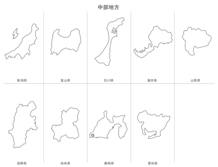
Title: A Estação Joetsu Shinkansen Niigata 08
Image ID: 1218673
Baixar: 10
Model release: N/A
Property release: N/A
Categorias:
tráfego-transporte / A Estação Joetsu Shinkansen Niigata 08
Share
Like
Antivirus
S
640 x 427 px
FREE
M
1920 x 1282 px
FREE
L
3008 x 2008 px
FREE
Upgrade to download up to 10 images at a time.
Standard license
This A Estação Joetsu Shinkansen Niigata 08 photo can be used for personal projects. It can also be used for commercial projects in some cases. Consulte Mais informação
Image information
O Criador:MANHATTAN
Title: A Estação Joetsu Shinkansen Niigata 08
Image ID: 1218673
Baixar: 10
Model release: N/A
Property release: N/A
Categorias:
tráfego-transporte / A Estação Joetsu Shinkansen Niigata 08
Similar free stock photos
View all
Similar free illustrations
View all


Similar free illustrations
View all Comments
Login or Sign Up to leave a comment